Image via Unsplash
Article
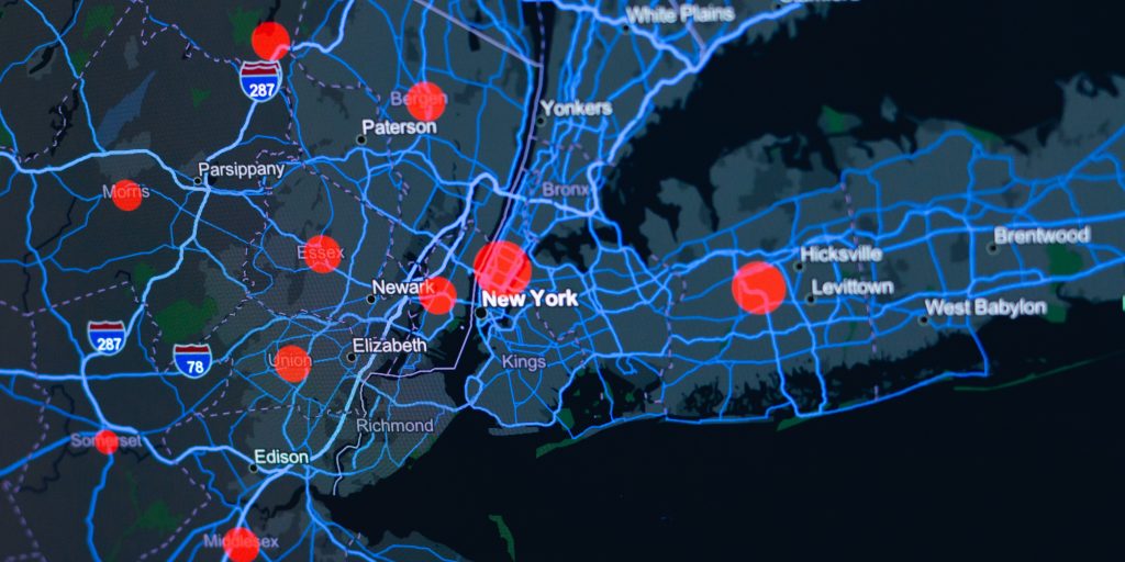
The importance of GIS technology within a smart city framework
Geographic information systems (GIS) have become a part of our daily lives. Anyone who’s flown, used a vehicle’s GPS, or given location permission to a smartphone app has firsthand experience with GIS technology.
Once just a tool for planners, architects, and infrastructure engineers, GIS is now more prevalent than ever across a broad spectrum of users. Agricultural producers with large farming operations rely on GIS technology to plant, harvest, and irrigate crops. Meteorologists depend on GIS to track and locate potentially damaging storms, while recovery teams use it to record damage and locations of impact.
When implemented as part of a larger smart city framework, GIS technology protects the safety and welfare of citizens while ensuring their ability to travel, work, and enjoy basic quality of life necessities.
Public safety: Speeding response & detecting threats
GIS technology is employed by citizens to help themselves, but it’s also used by first responders to help citizens. In-vehicle GPS devices provide direction to drivers and also help law enforcement locate lost or stolen vehicles. Crash detection systems offer a sense of safety to drivers, but also notify call centers and provide coordinates during an emergency.
GIS tech is a crucial component in most computer-aided dispatch (CAD) systems, and one that will continue to evolve as more agencies implement Next Generation 911 technology. Depending on the capabilities of an agency’s GIS, first responders can gather a wealth of knowledge about a call before they arrive.
Spatial data and pinpoint mapping eliminate confusion over a call’s location and speeds response times. Capabilities like 3D modeling, combined with location-based searches of live video feeds from cameras near the scene, can provide complete situational awareness. These capabilities provide a visual preview of a dangerous situation or damaged building, which protects both responders and potential victims.
Whether in the public safety answering point (PSAP) or in the field, responders can use a GIS to assess the availability and location of field units. The same technology, when accessed on mobile devices, can enhance real-time decision-making and ensure the right amount of resources respond to the scene.
A GIS also enables a real-time analysis of events and incidents as they happen. This analysis, when combined with artificial intelligence, shows agencies how they can identify and intervene in disruptive events earlier, reducing the impacts to citizens and economies.
Transportation: Resolving disruptions & safeguarding commuters
No city or county can flourish without reliable transportation infrastructure. GIS technology plays a significant role in keeping people and products moving. Whether car, truck, bus, or train, the inability to move people and products is both inconvenient and costly.
GIS technology can mitigate disruptions because it enables the real-time monitoring of roads, rail lines, and tunnels. Sensors and alarms detect problems and alert control rooms, while cameras near the incident scene verify the incident or potential threat.
When an incident occurs, control room dispatchers – utilizing GPS positioning – can quickly identify the availability and location of emergency responders, engineers, surveyors, and heavy equipment operators. Linked smart boards and warning systems warn commuters about delays.
Rapid reality capture enables crash investigation teams to undertake surveys faster and effectively, allowing roads, rail lines, and tunnels to reopen sooner. This reduces circulation disruption and difficulties related to rescheduling buses or trains. It also reduces other impacts, like congestion, pollution, and secondary accidents.
How do these capabilities reflect a smart city approach? They provide a better understanding of disruptive events, faster restoration times, and minimal impacts when problems occur. The end result is greater reliability and increased confidence in infrastructure systems.
Utilities: Lighting the way with reliable service
Without power and telecommunications capabilities, public safety and transportation would be severely limited. Utilities and communications companies also use GIS technologies to expand their market footprint, determine vulnerabilities, improve customer service, and assure regulatory compliance.
Because utility and communications infrastructure are often buried, an analysis of maps with the locations of gas, fiber communications or power lines can prevent a deadly digging catastrophe. A GIS can also show important details related to public rights of way, easements, and private property ownership.
Mapping is an essential element when companies are designing new grids or expanding existing ones because they show where service is needed and if there’s a customer base to support it. Smarter system planning ensures a greater return on investment.
In terms of operations, GIS technology enables utilities and communications companies to monitor networks in real time. Knowing the location of existing assets can be just as important as planning for new ones because system outages aren’t uncommon.
More than just a nuisance, downtime of any length can be extremely costly. According to a Gartner survey, industries reported the cost of internet downtime to be $5,600 per minute, or more than $300,000 per hour.
With GIS technology, utilities and communications companies can detect system vulnerabilities and harden assets against common outage causes like weather, theft, and/or vandalism. In the event of multiple incidents, GPS and sensor technology can determine:
- Specific outage locations
- The number of available technicians near the outage
- Real-time customer data from smart meters
- The most effective sequence of jobs to restore service to as many customers as possible
Unsurprisingly, a combination of shorter outage times and transparency in regard to outage resolution can improve a utility company’s relationships with customers. Automated outage report systems, which link a customer’s phone number to an address, are an integral part of a utility company’s GIS.
To provide a reliable estimate of service restoration for customers, companies can conduct an analysis of previous outages and a job progress comparison. This analysis, when integrated with a customer relationship management solution, can send that estimate out to the affected customers, which improves customer service.
The concept of GIS technology seems simple, but its daily impact on the lives of citizens is anything but, making it a vital part of the journey to a smarter, safer city.
However, adopting a smart city philosophy is more than just procuring the latest hardware or software solutions. It’s about looking down the road and seeing what opportunities and threats lay ahead and taking steps to mitigate them. With GIS technology, the roadmap is already there.
Michael Baker joined Hexagon in December of 1991. He has held many roles, including application engineer, global product manager for all of Hexagon’s utility products, business development and senior consultant. He currently manages technical services for the U.S. Utilities and Communications Business Unit. Baker can be reached at [email protected] or 256-730-2000.


