Infrastructure coordination software
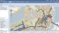
Release 2 of the Envista 2009 Web-based software for infrastructure project coordination includes Permit View, Event Coordination, Collaboration Ready Maps, Custom Spatial Query and Multipoint Map Sketching.
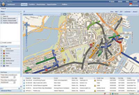
Release 2 of the Envista 2009 Web-based software for infrastructure project coordination includes Permit View, Event Coordination, Collaboration Ready Maps, Custom Spatial Query and Multipoint Map Sketching. The coordination software optimizes project timing and detects project conflicts among towns, cities, utilities and highway agencies. The software is designed to improve utility and public works project coordination to reduce the number of street cuts needed to complete multiple projects.
Envista, Boston, Mass.
Circle 135 on Reader Service Card or visit freeproductinfo.net/gn